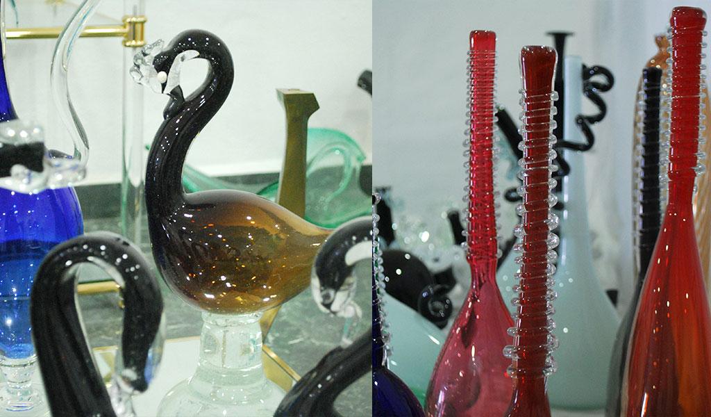
It is known to be glass floor, an industry that with the arrival of the crisis practically disappeared from the polygons of the municipality and today struggles to get back on its feet. L'Olleria is the second town with the greatest number of inhabitants of the Albaida Valley region and treasures more than enough heritage and historical elements to visit it. Among them we point out the three most important: the Fair, the house Santonja-Palau de los Maraus and the Baile de los Locos. L'Olleria deserves to be visited if you have not already done so.
HISTORY
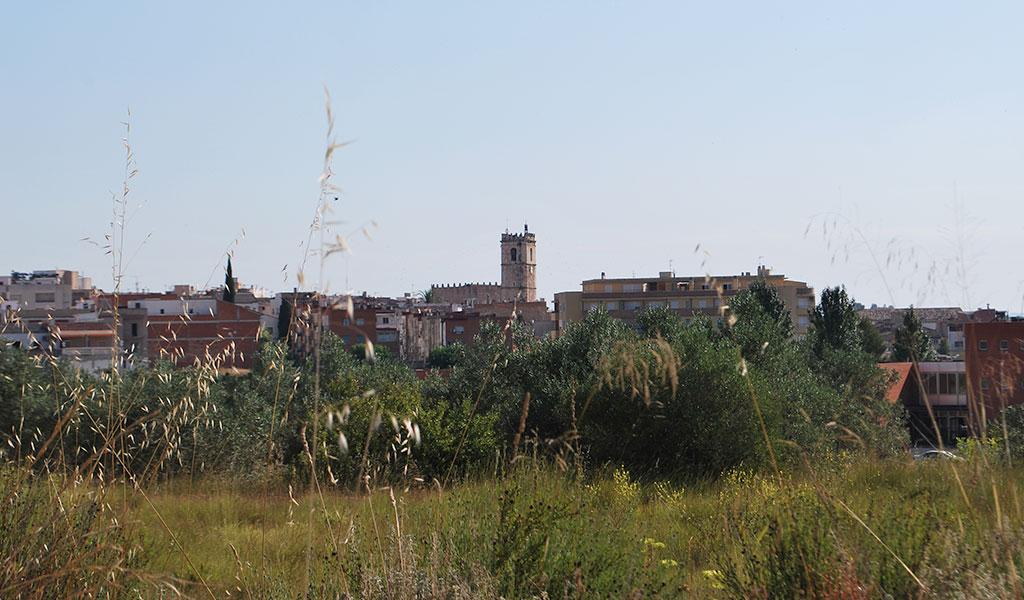
L'Olleria is a population of 9,000 inhabitants, located within the demarcation of Valencia, in the Albaida Valley region. Located at 75 km from the city of Valencia and 103 km from the city of Alicante, L'Olleria is located on the axis. It is located at the foot of the Sierra Gorda, surrounded by the Grado ravine and the Port, crossed by the Clariano River and a multitude of vineyards, olive, carob, almond, fruit trees and aromatic plants. All this vegetation benefits from the dry Mediterranean climate of the area. In the term of l'Ollería there is evidence of occupation since Prehistory. Findings have been made linked to the different stages of this, from the Middle Paleolithic, as in the Cave of San Nicolás, to the Bronze Age, in the Castellet del Porquet. This last site was studied in the nineteenth century by Juan Vilanova and Piera that although at first defined this site as a dolmen, later included within the Age of Metals, within the first period, that of copper. Later, in 1937, Isidro Ballester Tormo, published the results of his studies on the Castellet del Porquet, which finally attributed to Eneolítico-Bronze period. In Iberian times, some scattered finds of pottery and goldsmithing stand out, without finding important ruins, perhaps because it is a frontier land disputed by the peoples of the Contestania and the Edetania. In the Ibero-Roman period the scholars, centered the population nucleus in the hermitage of San Cristóbal, where the Roman tombstone was found and that can currently be admired in the street of the Batle, together with fibulas, coins and necklace beads.There are several Roman villas in the term, highlighting the one found during the works of the central highway, in the departure of Bonavista, where were found important remains related to pottery, oil production and in architecture a hypocaust in the basement of the house . The current location of Ollería is due to the Muslims, ratified by the found necropolis, which following the tradition extended through the entrances to the town. Of its remains are remarkable "alkanes"water mines. Of this period highlights the finding of an Arab seal, with an inscription, set in a gold ring, which refers to the importance of its owner. The ring has been lost but not the inscription that said: "Whoever believes is saved. Who suffers, wins. "After the Reconquest, in the" Llibre del Repartiment "(Book of Distribution), several donations of land appeared in the farm of les Olles. Its name comes from the activity that its people developed as potters. In the Modern Age emphasizes its independence with respect to the city of Játiva, obtained in two phases, first by the segregation in 1583 and later by the attainment of the category of Real Villa in 1588, with the taking of possession of the supreme jurisdiction and vote in Courts. In 1522, the town was pronounced in favor of the Germanías, the subsequent repression was brutal, dying hundreds of agermanados. It was also sacked during the Carlist wars and occupied during the Napoleonic invasion in the Spanish War of Independence.


 What to do now
 Calendar
 Local Products
 Entities
 Hosting
 Catering
 Leisure Places
 Heritage
 Events
 Activities
 Paths
Paths Shopping
 Industry
 Publications
 Services
 Experiential tourism